These pictures were taken Monday June 27, 2005
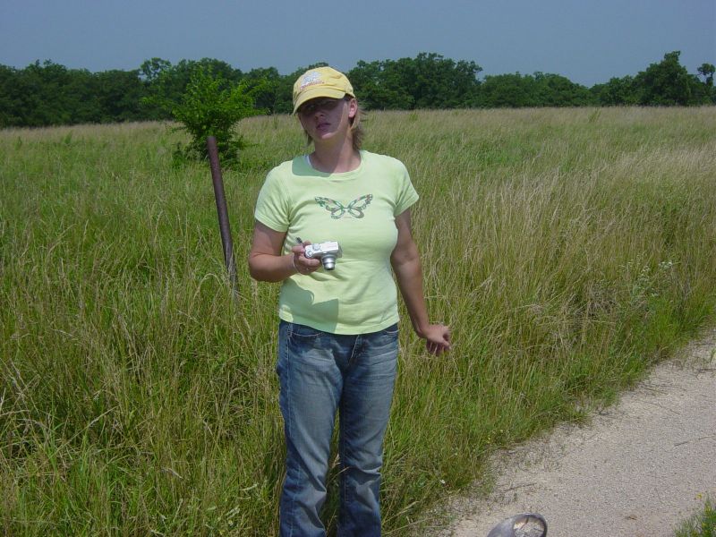
'Fearless leader" Martia taking pictures. The ground was soil cover over Sandstone. The road had chat on it.
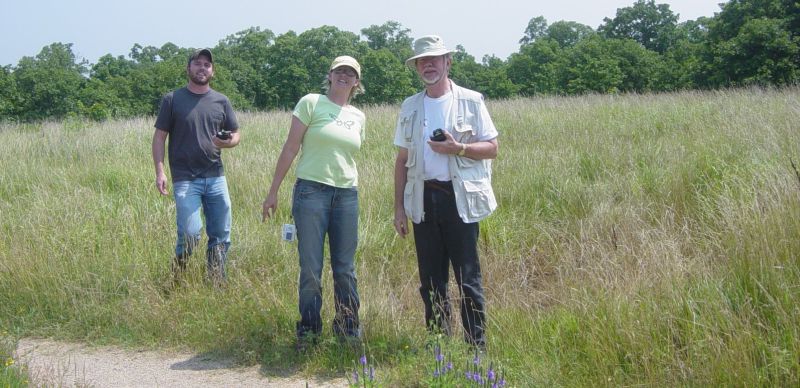
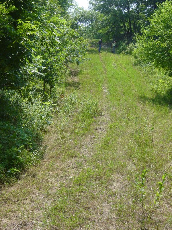
The survey team with tools 'outstanding' in their field. about a mile NE of Hale, Kansas. At the end of the road we found one uniface that may have been a scraper.
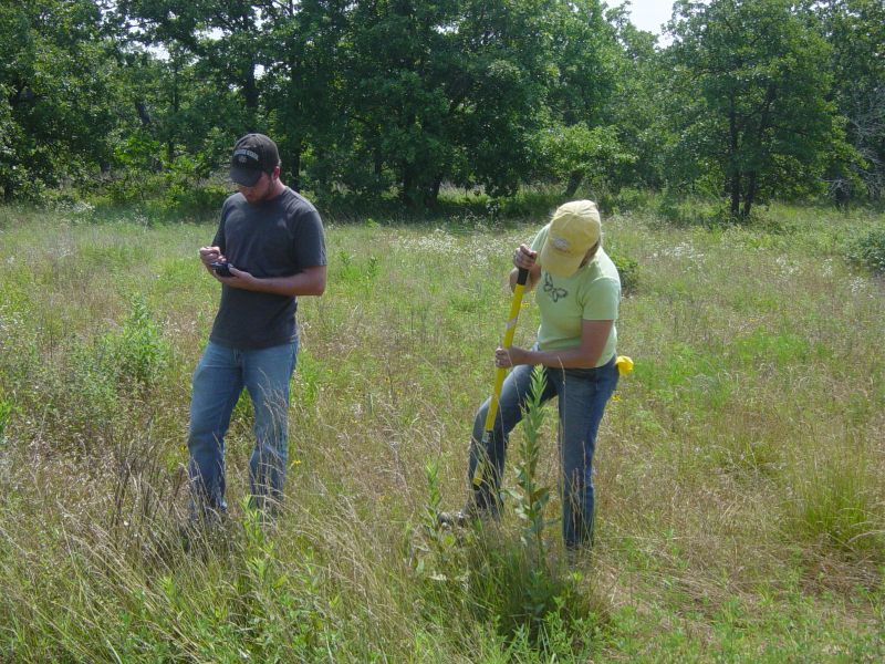
Sampling about a mile NE of Hale, Kansas.
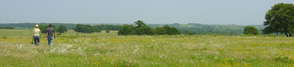
About half way between Elgin and Sedan in the Cedar Creek drainage crossing a field to get to a hollow. You can see the trees in the distance. That is to top of the hollow.
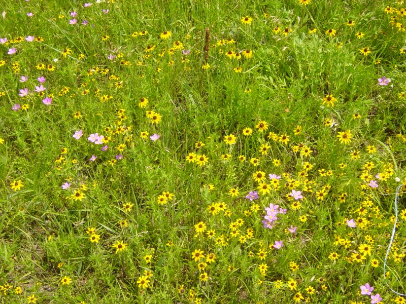
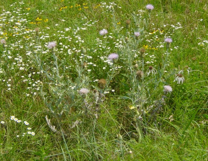
wild flowers in the above field
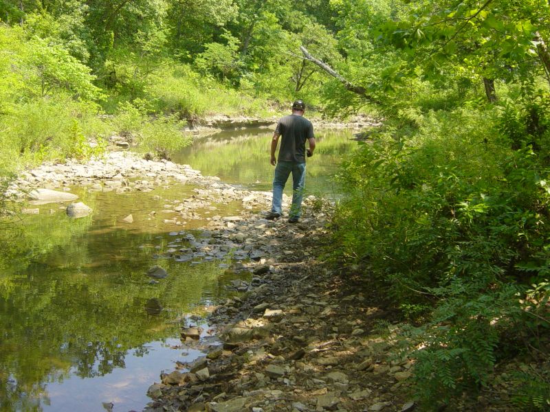
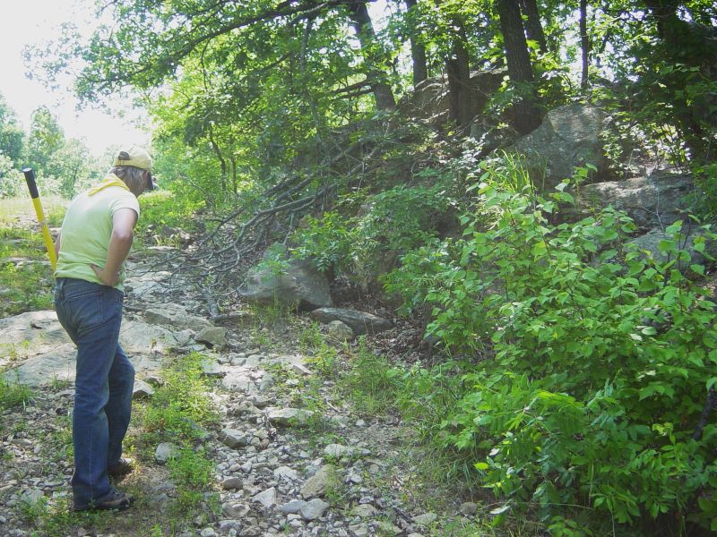
The creek at the bottom of the hollow looking sort of SE. A pipeline goes about where his feet are on the stream bed.
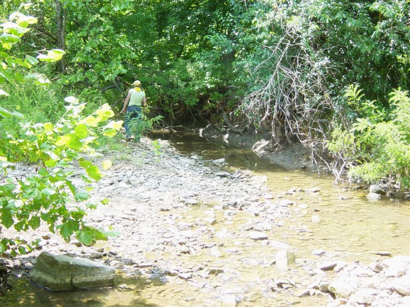
same creek looking sort of NW. Directions were hard to determing. The water line will come through this creek bed.
The hill out of the hollow. Dropped about 120 feet. For Kansas that is a drop.
half way up the hill
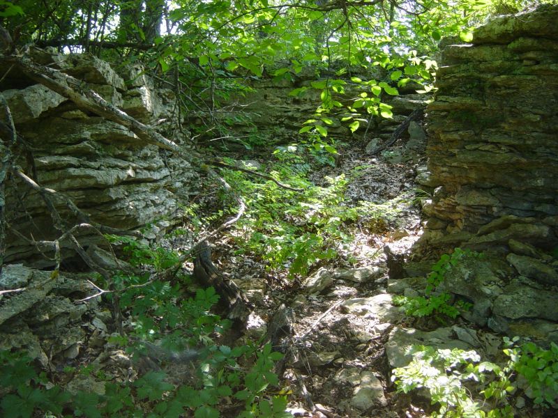
A natural enclosure that had been used for herding from the stone walls that were around the escarpment. Same hill as above.
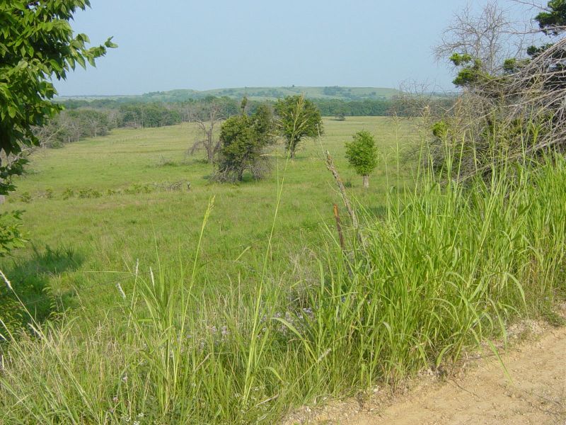
This was the view from the survey road North East of Monett and SE of Hale Kansas
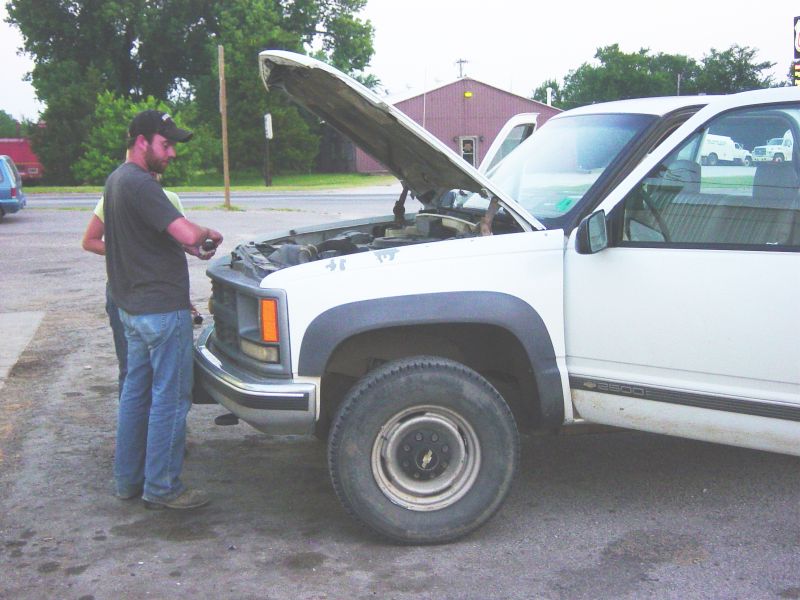
You have to keep the oil up in the Anthorpology Vehicle in Arkansas City or the lifters make a terrible racket.